There’s just something about long trails. Beyond the mileage and the physical component, distance trails require a different type of commitment and mindset — almost a lifestyle. And worldwide, the planet’s long trails also provide an intimate glimpse of some of the most fascinating and far-flung places on Earth.
From the Alps to the Appalachians, here are a few of the longest hiking trails on the planet. (And be sure to read up on how to prepare for a long-distance hike if you plan to travel to these remarkable hiking trails.)
Trans Canada Trail

First conceived in 1992 as a way to connect hiking, cycling, and paddling routes across Canada, the Trans Canada Trail is the most extensive trail network on the planet. Stretching from Newfoundland’s Atlantic Coast to the edge of the Pacific Ocean in British Columbia, the Trans Canada Trail is actually a massive conglomeration of regional trails, totaling more than 16,700 miles and threading a multiplicity of Canadian landscapes, from the coastal wilderness edging the Bay of Fundy to the plains of Saskatchewan to the otherworldly skies the Yukon, illuminated by aurora borealis.
The multifaceted trail system offers hiking, biking, paddling, and equestrian opportunities, including Quebec’s P’tit Train de Nord cycling route and the Salish Sea Marine Trail in British Columbia.
American Discovery Trail

Connecting the Atlantic Ocean to the Pacific Ocean, the American Discovery Trail is the country’s first car-free, coast-to-coast trail. Totaling more than 6,800 miles, the trail extends from Cape Henlopen State Park in Delaware to California’s Point Reyes National Seashore, splitting into a northern route and a longer southern route in Ohio. Originally inspired by a cross-country trek organized by the American Hiking Society in 1980, the countrywide route cobbles together five of the country’s national scenic trails, providing access to 14 national parks and weaving through 16 different national forests.
From the Chesapeake Bay to the wind-tousled grasslands of the Great Plains to the snow-frosted peaks of the Sierra Nevada, the trail rambles through 20 states and the District of Columbia, treating hikers to a firsthand taste of America’s diversity of landscapes.
E1 European Long Distance Path

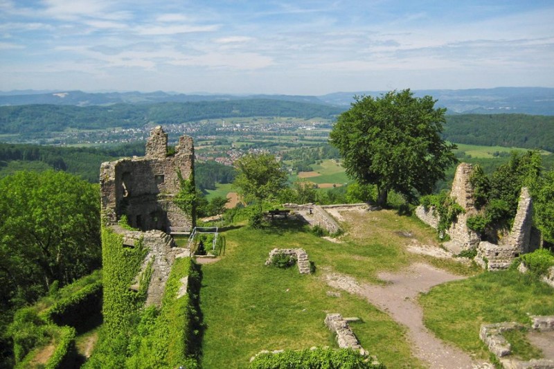
The longest of the dozen footpaths designated by the European Ramblers Association, the E1 European Long Distance Path offers a diverse taste of the continent, from the Arctic Circle to Germany’s Black Forest to the Italian coast. Beginning in North Cape, the northernmost point in mainland Europe, the trail extends southward to Sicily, along a route extending more than 4,900 miles and connecting national parks, wilderness areas, swathes of countryside, and historically rich towns in seven different countries.
For long-haul hikers, the route offers an eclectic range of experiences — for instance, wild stretches of trail in Norway and Sweden require backpackers to be fully self-sufficient, while sections of the footpath in Denmark and Germany are dotted with towns and villages offering cozy accommodations, especially around Hamburg.
North Country Trail

The longest of America’s National Scenic Trails, the North Country Trail stretches for 4,700 miles, from North Dakota to Vermont. Weaving through eight states, the monumental trail rambles through more than 100 different state parks and traverses ten national forests, including Vermont’s Green Mountain National Forest, the Allegheny National Forest in Pennsylvania, and Wisconsin’s Chequamegon-Nicolet National Forest.
For section hikers, the route also cobbles together a handful of regional long trails, including the Buckeye Trail in Ohio, the Iron Belle Trail in Michigan, and the Finger Lakes Trail in upstate New York.
Grand Italian Trail

Offering a blend of cultural and natural wonders, the Grand Italian Trail (or Sentiero Italia) traverses the entire Italian Peninsula and extends offshore to the islands of Sardinia and Sicily. Stretching for more than 3,800 miles, the epic trekking route traverses 20 different regions from the high peaks of the Alps and the Apennine Mountains to the sun-bathed beaches of the Amalfi Coast, stringing together UNESCO World Heritage sites, medieval towns, and national parks.
Italy’s Ministry of Environment has also announced plans to extend the existing Grand Italian Trail by nearly 620 miles to create a new route linking the country’s 25 national parks, to be named the Path of Parks (or Sentiero del Parchi).
Continental Divide Trail

Extending from the Chihuahuan Desert to the high peaks of the Rocky Mountains, the Continental Divide Trail begins at the Mexican border and traverses America’s interior, ending at Waterton-Glacier International Peace Park, along the border between the United States and Canada. The approximately 3,030-mile route follows the eponymous Continental Divide, an extensive chain of mountain ridgelines separating the country’s major river systems.
A largely mountainous trek, the Continental Divide Trail climbs to the highest point on any of America’s national scenic trails, 14,270 foot Gray’s Peak in Colorado. The hiking route also threads one of the country’s largest wilderness areas, the 1.5-million-acre Bob Marshall Wilderness Complex in northwestern Montana, and skirts one of the wilderness area’s most spectacular geological wonders — the Chinese Wall, a massive limestone escarpment that stretches for 22 miles and rises over 1,000 feet.
Great Himalayan Trail

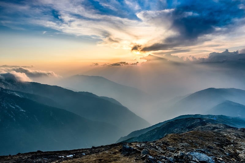
Traversing the entire Himalayan range through India, Nepal, and Bhutan, the Great Himalayan Trail is a mammoth network of trekking routes extending from Arunachal Pradesh westward to Kashmir. Over more than 2,800 miles, the route exposes trekkers to the majesty, history, and cultural richness of the Himalayas, all while following ancient trading routes, threading unearthly alpine passes, and weaving through historic hamlets.
Nepal’s portion of the route was the first to be completed, and the country offers both a “high” route and a “cultural” route. While the “high” route requires some mountaineering experience, topping out at more than 20,000 feet, the “cultural” route incorporates some of Nepal’s most popular short treks, including Langtang Valley and the Annapurna Circuit, and offers the chance to stay at cozy trail-side teahouses instead of tent camping.
Appalachian Trail

The East Coast’s most iconic footpath, the Appalachian Trail, runs from Springer Mountain in Georgia to Mount Katahdin in Maine’s Baxter State Park, tracing the ridges and valleys of the ancient Appalachian Mountains. Originally dreamed up by naturalist Benton MacKaye, the trail officially opened to hikers in 1937 and was designated as the country’s first National Scenic Trail in 1968. Today, the approximately 2,190-mile footpath showcases some of the East Coast’s most spectacular natural assets.
The trail rambles through eight national forests, crisscrosses the Blue Ridge Parkway, and winds through Virginia’s Shenandoah National Park, the Great Smoky Mountains National Park in western North Carolina and eastern Tennessee, and the Delaware Water Gap National Recreation Area along the border between New Jersey and Pennsylvania. But, it’s not all tent camping — thru-hikers can also spend the night at a handful of trail towns, historic Harpers Ferry in West Virginia, famous for John Brown’s raid in 1859.
Te Araroa Trail

Traversing the entirety of New Zealand, both the North and South islands, the Te Araroa Trail extends from Cape Regina, where the Pacific Ocean meets the Tasman Sea, and winds southward to Bluff, ending at the southern tip of the South Island. The 1,865-mile route includes a jaw-dropping medley of the country’s most spectacular natural wonders, including the Northland Forests, the sea-flooded valleys of the Marlborough Sounds, the Southern Alps, and a smattering of locations made famous by the Lord of the Rings film trilogy, including Togariro National Park.
While stretches of the trail necessitate tent camping, there are a variety of accommodation options scattered along the route offering creature comforts for hikers, including holiday parks, guesthouses, and an assortment of cozy backcountry huts operated by New Zealand’s Department of Conservation.
Tips for long-distance hiking
Get in shape
Nothing will prepare you for hiking like
Invest in good boots and socks
Your feet are going to be your main mode of transportation, so it’s important to take care of them. Choose a well-fitting, supportive pair of hiking boots that are broken in before you hit the long trail. Wear moisture-wicking socks to help prevent blisters.
Pack light
Every ounce counts when you’re carrying your pack all day. Choose lightweight gear and only pack the essentials. Here are some tips for packing light:
Stay hydrated
It’s important to drink plenty of water throughout the day, even if you don’t feel thirsty. Dehydration can lead to fatigue, muscle cramps, and altitude sickness.
Be prepared for the weather
The weather can change quickly in the mountains, so it’s important to be prepared for anything. Pack layers of clothing so you can adjust to different temperatures. Bring rain gear and a hat, and don’t forget sunscreen and insect repellent.


